RECONNECTION
Pedestrianization of the Intramuros - Extramuros District
WHAT IS THE IMAGE OF THE INTRAMUROS-EXTRAMUROS DISTRICT IN MANILA ?
The City of Manila holds within it the historical and richly cultured gems of Intramuros and Extramuros, yet the relationship between the two is currently fragmented, causing a rift in the image of the two areas as separate and impossible to connect, thus from being a historical icon it becomes a neglected icon. In spite of that, using Kevin Lynch’s concept of Imageability, it is observed that the elements of the Intramuros - Extramuros district manifest high potentials for pedestrianization based on Jan Gehl’s criteria for city-pedestrianization. People must be comfortable walking, riding bicycles and safe and efficient public transport — to be as themselves — to fully appreciate this iconic heritage district, not to mention how it can further ameliorate the other surrounding districts of Manila.
To achieve this within a 20-year period, FIVE PHASES of development were determined beginning with the Intramuros Administration’s official initiative to slowly pedestrianize the walled city.
LOCATION Intramuros, Manila PH
AREA 670 has.
TYPE Urban Design
YEAR 2016
STATUS Completed - Urban Design Studio Project
TEAM FIJI and Katrina Rivera
CLIENT NCCA / Manila City Government
why is connecting essential ?

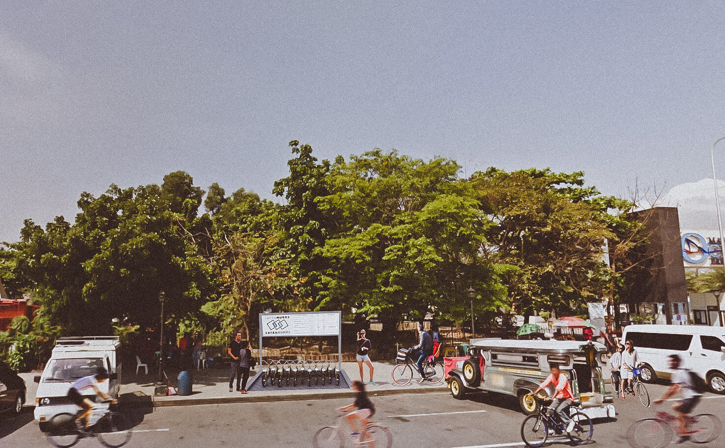
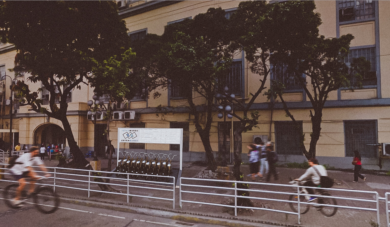
The area itself is currently only fully accessible via Passenger Car Units (PCUs) and other motorized vehicles. Alongside such, it has been hazardous for pedestrians to use sidewalks and designated crossings (if any and if actually maintained — the one underground crossing that bisects Taft Avenue has long had issues of vagrancy and violence) to traverse in between the districts safely, moreover to appreciate the history and heritage the district supposedly should exhibit.
The map here shows how there are indeed many ways to go around the district (from tricycle, jeeps to the river ferry), but these ways around are very limited, fragmented, and not enough. The paths, as city elements, become edges that create a void between the Walled City of Intramuros from the many places that support it (Extramuros). Reconnecting the the two districts can begin not only as a catalyst for pedestrianization of the district itself, but also as a model for other heritage areas in the Philippines.


City elements identified and analyzed in the districts.

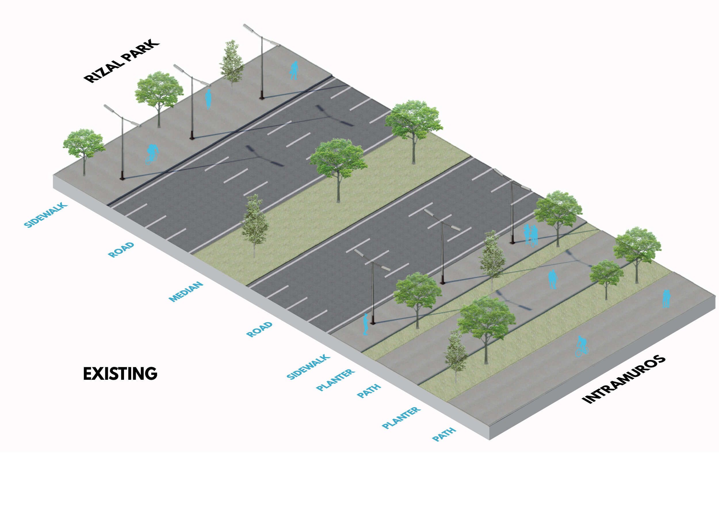
The current state of the paths clearly prioritize vehicles, as pedestrians must go through a great deal of effort in order to get from one historical site to the other, due to the lack of direct paths, and the major roads acting as edges.

The Intramuros-Extramuros District manifest high potentials for city pedestrianization according to Jan Gehl’s criteria for city-pedestrianization, particularly in heritage areas.

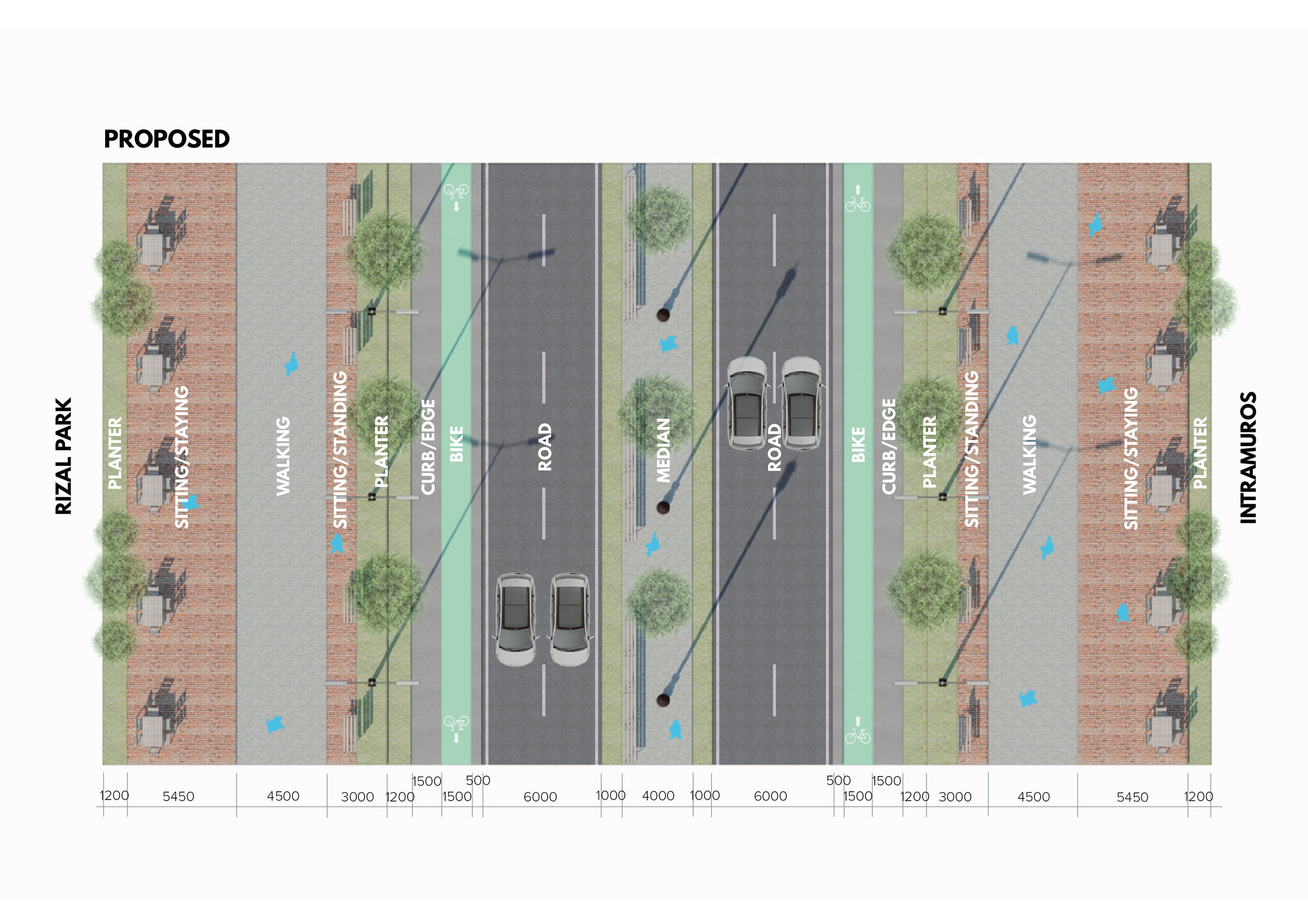
A 20-Year Plan in Five Phases.
Phases 02 and 03 are featured in the drawings and perspectives below.